Archived version: https://archive.ph/hguLn
Excerpt (and context):
Apple Maps’ offering might surprise people who remember its disastrous launch in 2012, which the Guardian described as the company’s “first significant failure in years”. Users were more than furious – they were lost, sometimes dangerously so. In Australia, police had to rescue tourists from the huge Murray-Sunset national park, after Maps placed the city of Mildura in the wrong place by more than 40 miles. Some of the motorists located by police had been stranded for 24 hours without food or water. In Ireland, ministers had to complain directly to Apple after a cafe and gardens called “Airfield” was designated by the service as an actual airport.
But mostly the map was just glitchy and unhelpful, its directions always a little off kilter. Users revolted and Apple made a rare retreat, allowing Google Maps to be used as the default on many iPhone apps and apologizing for the product.
No
I read this this morning and was raging that they didn’t mention OSM at all in it!!
Wilmott worries that these maps, now dominant, lack information that more traditional maps like Britain’s Ordnance Survey (OS) still have: “An OS map shows you where a stile is for horses; I’m not sure Google Maps even knows what a stile is. When you’re surveying a space, you find that information but geo AI doesn’t have that information. I’m from Australia – you can look at a space where Google Maps might tell you to walk a route through tall long grass, but if you’re from a place you know: there will be snakes in there. Most of this kind of mapping, because it was developed out of urban maps, privileges urban information, not rural information.”
This isn’t directly related to OpenStreetMap, or am I missing something?
It’s not directly about OSM but I thought it would be of interest to people here. I certainly found it interesting; it’s good to update my knowledge about a map service I know less about.
Hmmm, maybe a general geo-community should be started then? I’d like to keep this one OSM-centric.
I would argue that OSM doesn’t exist in a bubble and that discussion about other maps and related services is very relevant to OSM.
This argument is definitively true, but I come to this OSM-community for news about OSM and for help about OSM, not for general map discussions - that is explicitly the scope of this community.
Lemmy is big enough to have a general maps- and geo-community, go on an create it!
Very sad to see this level of gatekeeping in a rather small, slow and quiet community. Good luck to you.
Or join existing ones: https://lemmy.ml/search?q=Maps&type=Communities&listingType=All&page=1&sort=TopAll.
This topic looks totally relevant to https://lemmy.world/c/applemaps.
This is the best summary I could come up with:
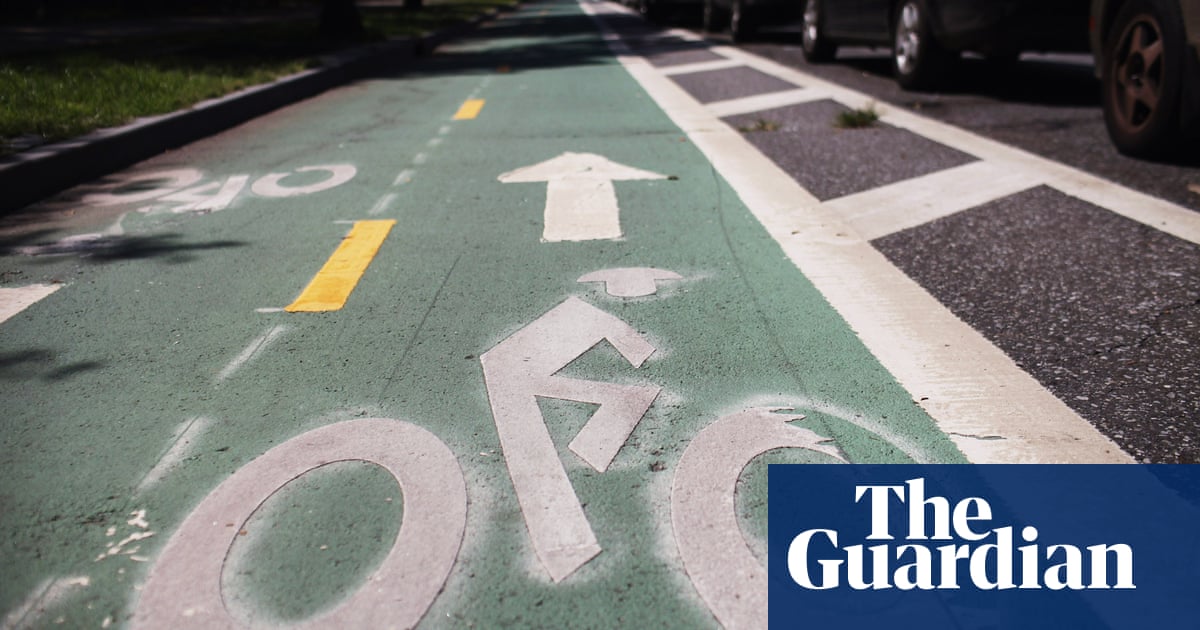
But with one earbud in and Siri activated, you can have a friendly voice guide you through a foreign city, drifting you towards cycle lanes and safer routes and navigating often complex one-way systems.
In my hometown of London, where a lot of cycling routes are pathways in woods or through reservoirs, it has a habit of sending you down these dark and sometimes dangerous paths at night when the streets are much quicker and mostly empty.
In the post-apocalyptic, post-internet world in HBO’s The Last Of Us, there’s a scene in which the main character Joel, having spent weeks traversing an icy wasteland, happens upon a small cottage inhabited by an old couple.
As Cue himself recognises, “there are really only two mapmakers left in the world, in ourselves and Google” – and that monopoly of information, says Clancy Wilmott, a professor specialising in digital cartographies at Berkley, has consequences.
For their part, the Apple Maps engineers I spoke with acknowledged that they were more reliant on AI, aerial photography and existing data in rural settings and were focusing on expanding to more cities.
I’d say: ‘Once you’re on Ascension and you see the brick column, that driveway right after is mine.’ We’ve been working hard on that as well,” Cue says, adding that the future might be Siri telling you to “make a left at the yellow house”.
I’m a bot and I’m open source!